Moulins – Place de la République and the Station Garden Pond
Geographic description
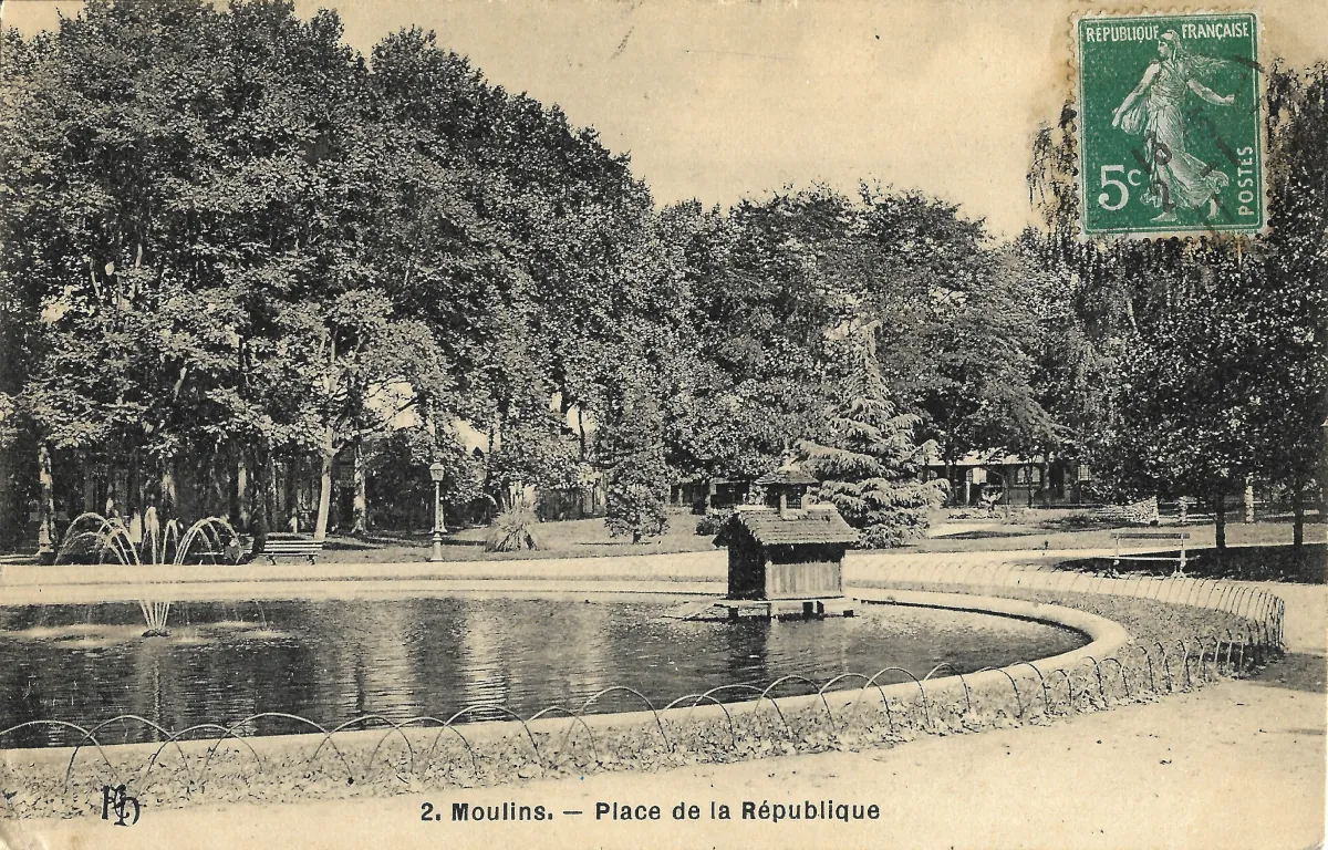
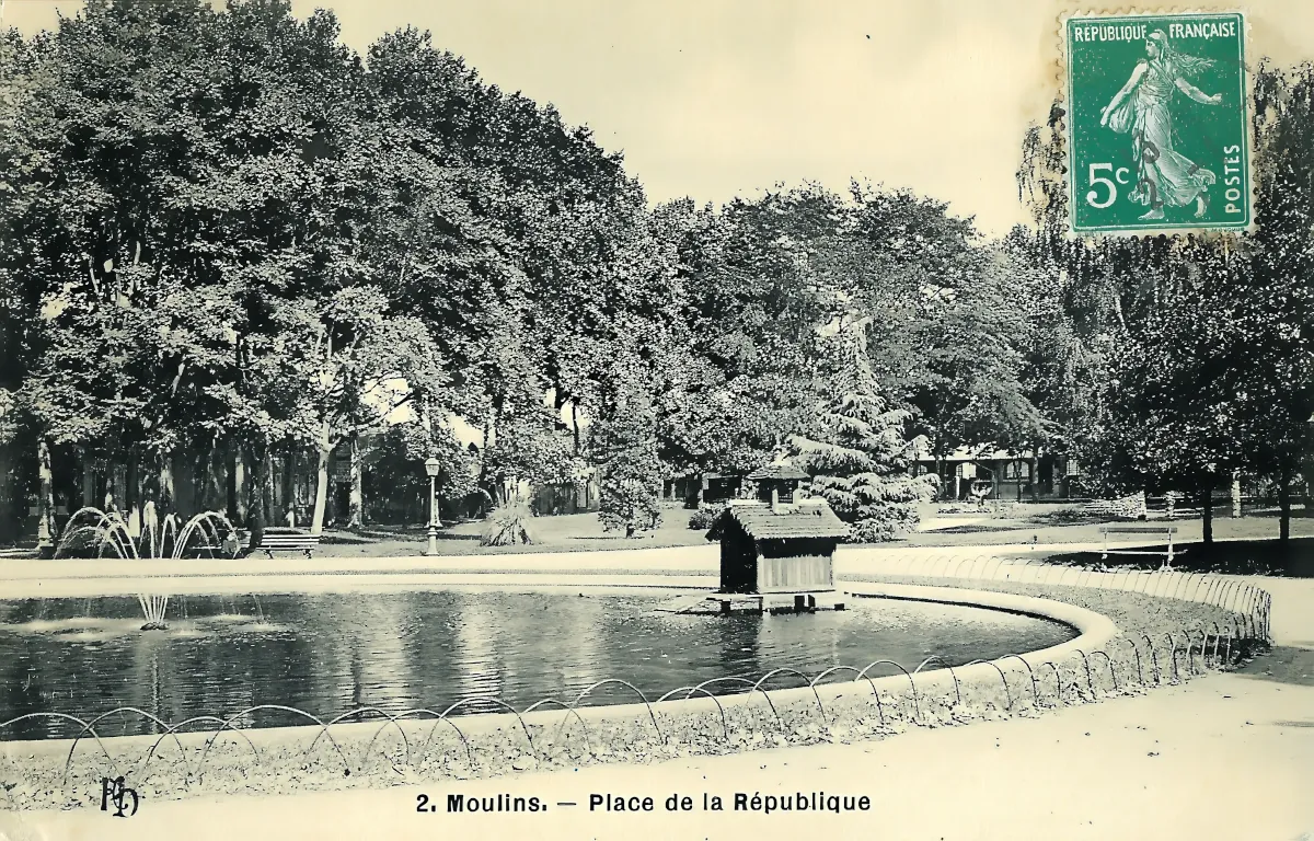
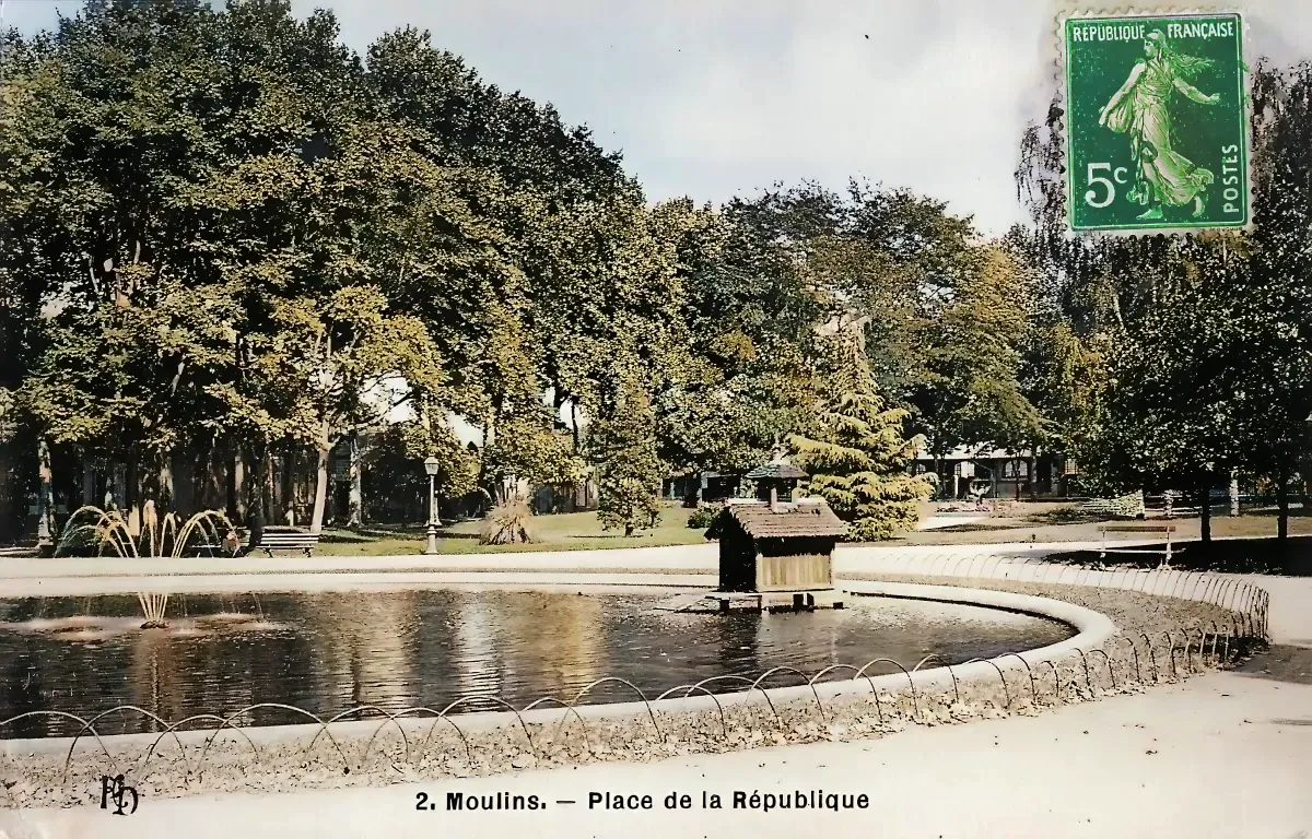
The Moulins Place de la République postcard shows a landscaped public garden centred on a large ornamental pond, close to the railway station in Moulins, in France’s Allier department. The printed caption at the bottom, “2. Moulins. — Place de la République”, identifies the location beyond reasonable doubt. Moulins is now the prefecture of Allier and lies mainly on the right bank of the River Allier, within the historic Bourbonnais region of central France.
The ornamental pond occupies almost the entire foreground of the photograph. Its broad curved outline is edged with stonework and a low series of metal hoops, apparently intended to protect the planted margins. Several fountains add movement to the scene. A group of water jets can be seen on the left, while another smaller jet rises in the foreground.
Near the centre of the pond is a small roofed structure. Its exact function cannot be established from this photograph alone, but it was probably connected with the waterfowl kept in the garden. Other surviving postcards of the same Moulins square explicitly describe the pond as the “Bassin des Cygnes”, or Swan Pond.
Behind the water lies a heavily wooded garden. The trees were already mature when the photograph was taken and form an almost continuous canopy. Public benches stand beside the paths, together with tall street lamps typical of a carefully maintained municipal garden. A few buildings can just be distinguished through the foliage, although they are too obscured to be identified confidently. The photographer clearly intended the vegetation, water and fountains—not the surrounding architecture—to be the main subject.
Historically, this area was also known as the jardin de la gare, or station garden. A local historical account directly associates the station garden with the former Place de la République and places it near the beginning of the former Avenue de Chagny, now Rue Marcellin-Desboutin. Municipal heritage information adds that this triangular garden was laid out during the Second Empire, at the time the railway station was opened, with the involvement of the local horticultural society.
The garden survives today under another name: Square Général-Leclerc, opposite Moulins railway station. The City of Moulins still describes it as a major green space in the town centre, with mature trees, lawns, flower beds and a pond inhabited by swans and ducks. The present garden covers approximately 15,000 square metres.
This continuity is particularly valuable when interpreting the postcard. Although the surrounding streets and urban environment have naturally evolved, the site has retained the same broad purpose for more than a century: a landscaped public garden forming a green setting near the railway station.
There are virtually no people visible and no motor vehicles disturb the scene. The image therefore conveys a deliberately peaceful vision of Moulins, focusing on water, fountains, mature trees and public leisure. Such compositions were highly attractive to postcard publishers in the early twentieth century, when railway travellers and tourists often purchased cards illustrating a town’s most pleasant promenades, parks and civic spaces.
Historical description
The postcard can be placed with reasonable confidence in the early twentieth century, although three different dates must be distinguished: the date of the photograph, the date when the card was printed, and the date when this particular copy was mailed.
The first dating clue appears in the lower-left corner. The small monogram seems to be the “ND” or “ND Phot.” mark associated with the Neurdein photographic publishing firm. Another catalogue entry for this Moulins view also identifies the publisher as “ND. Phot.” The Bibliothèque nationale de France records Neurdein frères as a Paris-based photographic, printing and publishing business run by Étienne and Louis-Antonin Neurdein. The BnF states that the firm used the “ND” mark from 1885 and continued under successive Neurdein business names until 1918.
A second clue is the green 5-centime postage stamp attached at the upper right. From its visible design, it appears to be the green 5c Semeuse issue introduced in March 1907. Philatelic references indicate that this stamp remained on sale until 1921. Unfortunately, the cancellation on this example is not clear enough to read a precise postal date.
Taken together, the publisher’s mark and the stamp suggest that this particular postcard was probably circulated between 1907 and 1918. This remains an estimate rather than an exact dating. A postcard could remain on sale for several years, and the photograph used for the printed view might have been taken before the card was eventually posted. It is therefore safer to describe the photographic view simply as dating from the opening years of the twentieth century.
The garden itself was already several decades old. According to heritage information published by the City of Moulins, the station garden was created during the Second Empire as part of the development associated with the railway station. By the time the postcard photographer arrived, the trees had therefore had many years to mature, which helps explain the dense canopy that forms the background of the image.
The landscaped character of the square also fits into Moulins’ longer tradition of urban promenades. Moulins had been the capital of the Bourbonnais under the Dukes of Bourbon, and its civic development continued long after the ducal period. From the late seventeenth century onward, sections of the obsolete fortifications were gradually replaced by planted promenades and boulevards as the town expanded and sought to improve its urban appearance.
The railway garden represented a nineteenth-century continuation of that tradition. Railway stations had become important gateways into French towns, and their surroundings were often designed to create a favourable first impression. At Moulins, the ornamental pond, fountains, shaded walks, lamps and benches transformed the space beside the station into both a welcoming entrance and a recreational area for local residents.
Surviving postcards confirm that the water feature became one of the garden’s recognised attractions. Other cards call it the Bassin de la Place de la République, the ornamental “pièce d’eau”, or the Bassin des Cygnes. The postcard shown here therefore belongs to a wider series of images presenting the station garden as one of the picturesque sights of early twentieth-century Moulins.
Its greatest historical interest may lie in the remarkable continuity of the site. The former Place de la République garden is now known as Square Général-Leclerc, yet a pond with swans and ducks remains one of its defining features. The postcard thus records not a vanished landscape, but an earlier form of a public garden that continues to play a similar role in Moulins today.