Moulins – Place du Jeu-de-Paume in the Early 20th Century
Geographic description
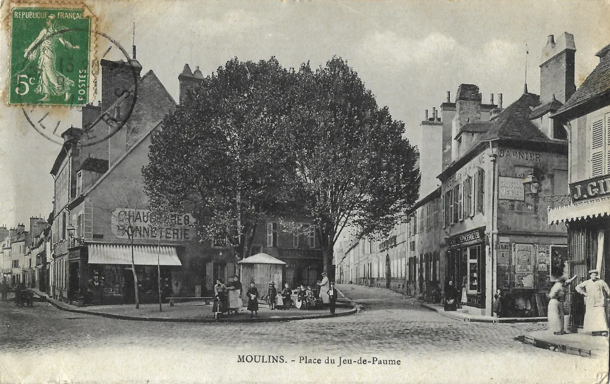
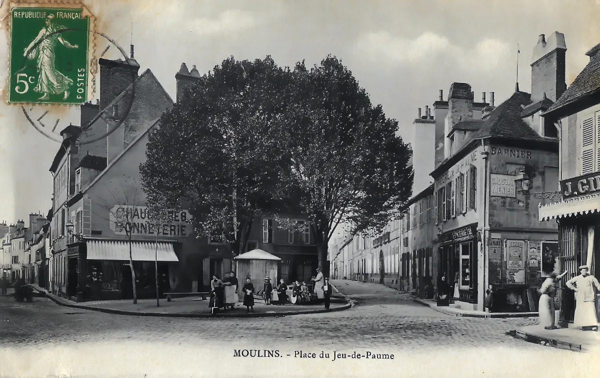
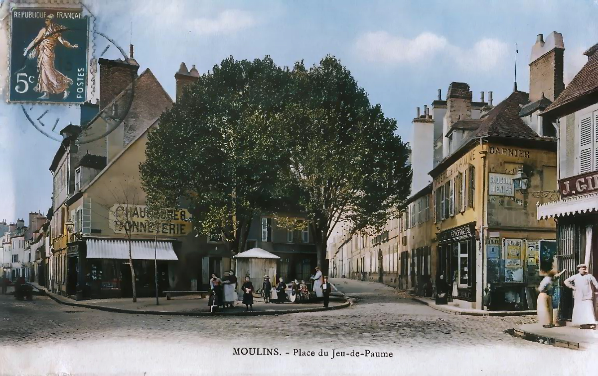
The Place du Jeu-de-Paume in Moulins is shown here as a lively neighborhood crossroads surrounded by shops and closely packed houses in the historic urban fabric of the Allier département’s capital. The camera looks across the square toward a street extending between two rows of buildings, creating a remarkably detailed picture of everyday life in a provincial French town during the early 20th century.
Two large trees dominate the center of the scene. Their dense foliage provides shade and visually separates the square from the buildings behind them. Beneath the trees stands a small polygonal structure that appears to be part of the period’s street furniture or public facilities. Its precise purpose cannot be established with certainty from the photograph alone.
On the left, a corner shop has a broad awning extending over its storefront. Painted signs on the façade include the words “Chaussures” and “Vannerie,” indicating the sale of footwear and basketware. Beyond it, relatively modest two-story houses continue down the street, their façades standing directly along the roadway.
The right-hand side of the square was equally commercial. An “Épicerie” sign identifies a grocery shop occupying the ground floor of the corner building. Several advertisements and painted signs cover the side wall. Among them is a clearly recognizable advertisement for Menier chocolate, one of the commercial brands whose painted wall advertisements became a familiar feature of French towns around the turn of the century.
At the far right, several people wearing white coats or aprons stand outside another shop. Their clothing strongly suggests a food-related business, probably a butcher’s shop. Other surviving descriptions of postcards depicting this square also refer to a butcher among the businesses located here.
The human activity is one of the photograph’s most striking features. Women, men and children gather beneath the trees and outside the shops. Some appear to have stopped specifically to watch the photographer. The street is still free of visible motor traffic, allowing pedestrians to occupy the paved roadway with a freedom that would gradually disappear as automobiles became more common.
The Place du Jeu-de-Paume belonged to an old district of Moulins. Its name preserves the memory of the jeu de paume, the historic ball game that was once widely practiced throughout France and ultimately contributed to the development of modern tennis. Historical documentation confirms that a Rue du Jeu-de-Paume had long existed in this part of Moulins. The square therefore formed part of a long-established network of streets connecting residential areas with local commercial activity.
Historical description
The postcard can reasonably be placed in the early decades of the 20th century. The architecture, clothing, shopfronts, cobbled street and complete absence of motor vehicles all point toward that period. An additional chronological clue is provided by the postage stamp still attached to the upper-left corner.
The green 5-centime stamp belongs to the French Semeuse camée series. The green 5-centime denomination was introduced in 1907, providing a useful terminus for the circulation of this particular copy: it cannot have been mailed before that year. Since the postmark is not sufficiently legible in the image to establish an exact date, a more precise year should not be asserted. The general appearance of the scene is nevertheless consistent with the late 1900s or the years immediately preceding the First World War.
The photograph offers an unusually informative record of neighborhood commerce. Within a very small area were businesses selling footwear and basketware, a grocery shop and apparently a butcher’s shop. Such establishments were essential components of daily urban life before large retail stores and motorized travel transformed shopping habits.
The advertisements painted or pasted onto the buildings are equally significant. The Menier chocolate advertisement illustrates the growing influence of national consumer brands during this period. Painted wall advertising became widespread from the late 19th century onward, turning shop walls and prominent corner buildings into highly visible commercial spaces.
The square itself remained primarily a pedestrian environment. Adults stand in conversation while children gather only a few steps from the roadway. No parked cars, traffic signs or road markings interrupt the scene. The paved street is shared informally by pedestrians and whatever horse-drawn vehicles would have passed through the district.
This postcard is therefore valuable for more than the identification of a particular location. It records the social scale of early 20th-century Moulins: neighborhood shops, residents gathered outdoors, substantial shade trees and modest houses lining narrow streets. Rather than emphasizing the city’s major monuments, the photographer captured an ordinary commercial square at a moment when urban life was still largely organized around walking and local shops.
Today, such postcards provide evidence of details that official architectural records often overlook: shop signs, advertising, clothing, street surfaces and the ways residents occupied public space. The Place du Jeu-de-Paume scene is a particularly rich example, preserving a vivid glimpse of everyday life in Moulins during the opening years of the 20th century.