Lyon – The Saône, Croix-Rousse and Pont de la Feuillée
Geographic description
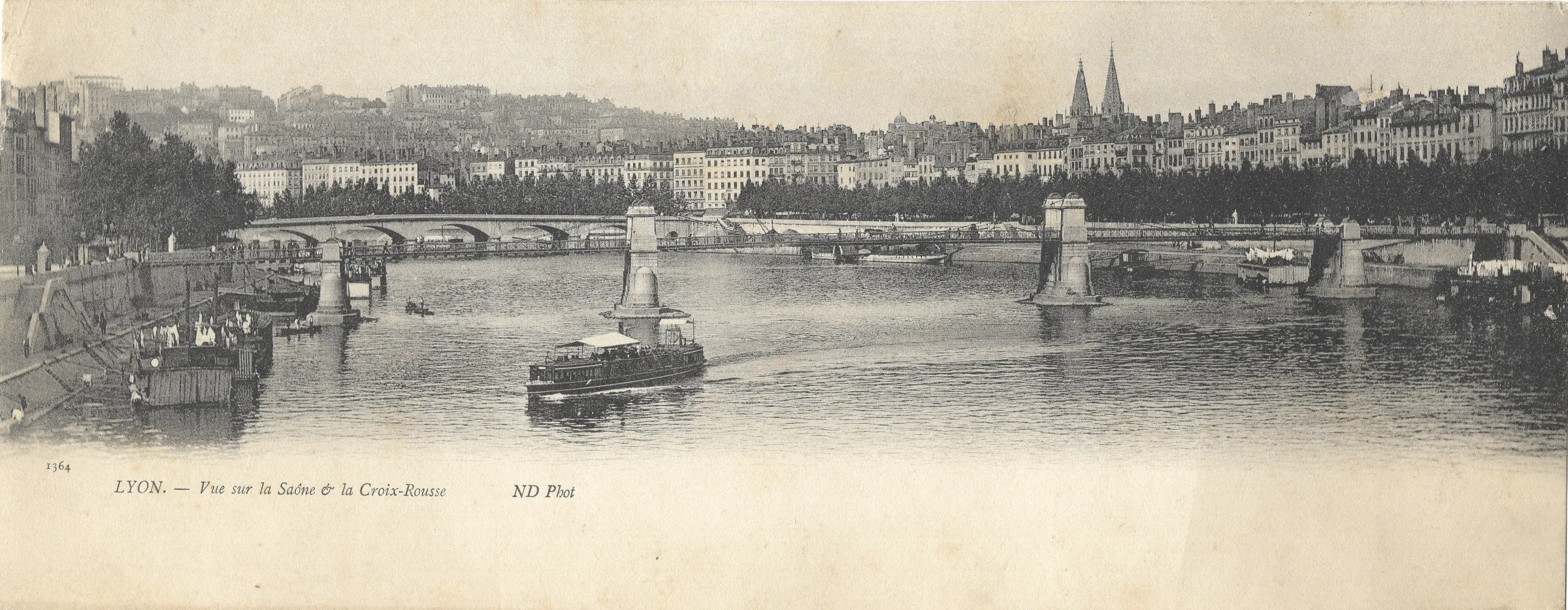
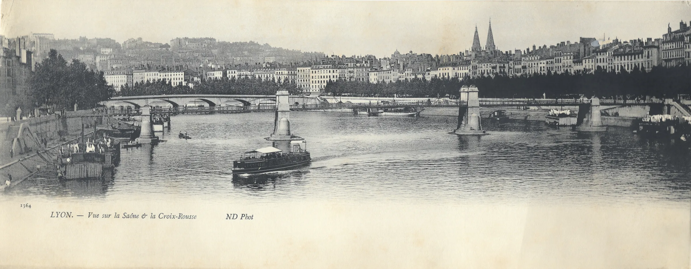
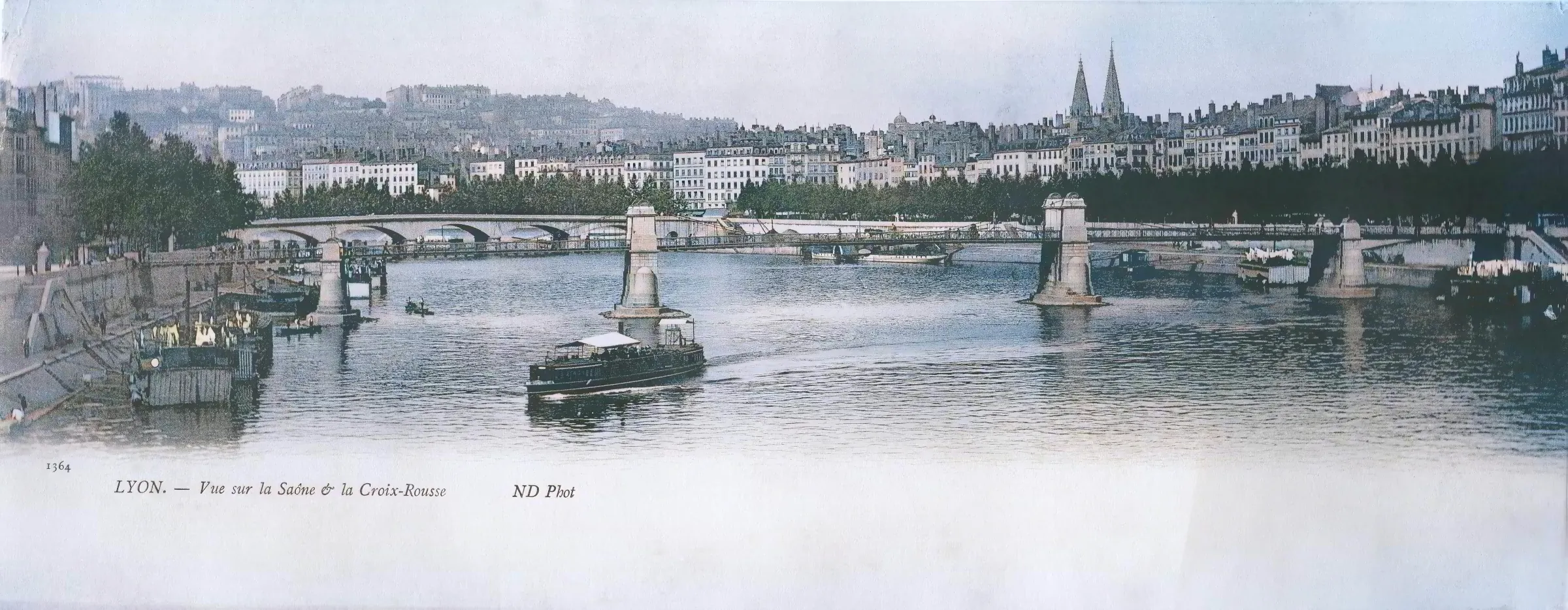
The Saône and Croix-Rousse in Lyon form the centrepiece of this broad historic panorama, photographed from the right bank of the river and apparently looking downstream towards central Lyon. The printed caption leaves no doubt about the general location: “LYON. – Vue sur la Saône & la Croix-Rousse”. The number 1364 appears on the lower left, while “ND Phot” identifies the photographic publisher.
The Saône dominates the foreground. A small passenger vessel is travelling along the river, its covered cabin and open deck adding movement to an otherwise remarkably calm scene. Along both banks are several floating or moored structures. Some appear to be the type of floating wash-houses, or bateaux-lavoirs, that were once a familiar feature of Lyon’s riverfront; laundry can actually be seen hanging beside the water on the left. Lyon’s municipal archives preserve photographs documenting such floating wash-houses and other river activities along the Saône around this period.
The most prominent structure is the Pont de la Feuillée, shown in its former suspension-bridge configuration. Large masonry pylons stand close to the banks, supporting a relatively light suspended deck while leaving the central part of the river comparatively unobstructed for navigation. Historical accounts of the bridge confirm that the supports of the nineteenth-century suspension bridge were deliberately positioned close to the riverbanks.
A second bridge can be seen beyond it. Its much heavier series of arches identifies it as the former Pont du Change. The alignment of Pont de la Feuillée and Pont du Change is a distinctive feature of historic views of this stretch of the Saône. Pont du Change once crossed the river beside the Saint-Nizier district but was demolished in 1974. The modern Pont Maréchal-Juin, built slightly farther downstream, now provides the principal road crossing in this area.
Beyond the river, long rows of tall buildings create a continuous urban frontage. Behind them, the land rises towards the slopes of Croix-Rousse, which were already intensely built up when the photograph was taken. The postcard therefore captures one of Lyon’s most characteristic geographical arrangements: the river at the bottom, densely built quays along its banks, and a steep urban hillside rising behind them.
Two pointed spires stand out clearly above the rooftops on the right. They belong to Saint-Nizier Church, on the Presqu’île. Their slightly different appearance remains an important feature of Lyon’s skyline. The City of Lyon notes that the church combines an older Gothic tower with a second, nineteenth-century Neo-Gothic spire.
The viewpoint was therefore most probably located on the right bank of the Saône, slightly upstream from Pont de la Feuillée, perhaps around the Quai Pierre-Scize area or on one of the nearby elevations. This precise position should be regarded as probable rather than certain, but it is consistent with the relative alignment of Pont de la Feuillée, Pont du Change, Saint-Nizier and the Croix-Rousse hillside.
Historical description
The photograph can be dated with reasonable confidence to the early twentieth century, and most probably to before 1910. The key evidence is Pont de la Feuillée itself. The bridge in the postcard is still the nineteenth-century suspension structure. Historical sources record that this bridge, originally opened in 1831 and repaired after problems associated with the great flood of 1840, was demolished in 1910 and replaced by a new metal bridge completed two years later.
The printed mark “ND Phot” provides another useful clue. It was used by Neurdein Frères, the major Paris-based photographic and postcard publishing firm. The Musée d’Orsay records Neurdein Frères as active between 1863 and 1917 and lists “ND Phot” as one of the company’s names or signatures. Taken together, the publisher’s mark and the presence of the old suspension bridge make a date of approximately 1900-1910 highly plausible, although the postcard itself does not provide enough evidence to establish an exact year.
The image also records a period when the Saône played a very visible role in everyday urban life. The riverbanks were working spaces as much as scenic promenades. Boats, floating structures and washing facilities shared the river with passenger and commercial traffic. Lyon’s archives document this mixture of navigation, quays and bateaux-lavoirs in photographs dating from around 1900 and 1910.
Much of this riverscape has since changed. The Pont de la Feuillée seen here no longer exists; it was followed by several successive structures, with the present bridge dating from the post-war reconstruction period. Pont du Change has vanished completely, having been demolished in 1974, while Pont Maréchal-Juin was constructed farther downstream to provide a more suitable modern crossing. The floating wash-houses and much of the working riverfront infrastructure have likewise disappeared.
Other features, however, still make the scene immediately recognisable. The densely developed Croix-Rousse slopes remain one of Lyon’s dominant urban landscapes, while the twin spires of Saint-Nizier continue to rise above the Presqu’île. The postcard therefore provides a striking comparison between elements that have endured—the topography, hillside development and major monuments—and infrastructure that has been radically transformed.
More than a simple panoramic souvenir, this postcard records Lyon at a moment when the Saône was still closely integrated into the practical life of the city. River traffic, bridges, quays, wash-houses, densely packed buildings and the steep Croix-Rousse hillside combine to create a particularly informative portrait of Lyon during the Belle Époque.