Antique Postcard Chatham Square, New York, c. 1920
Geographic description:
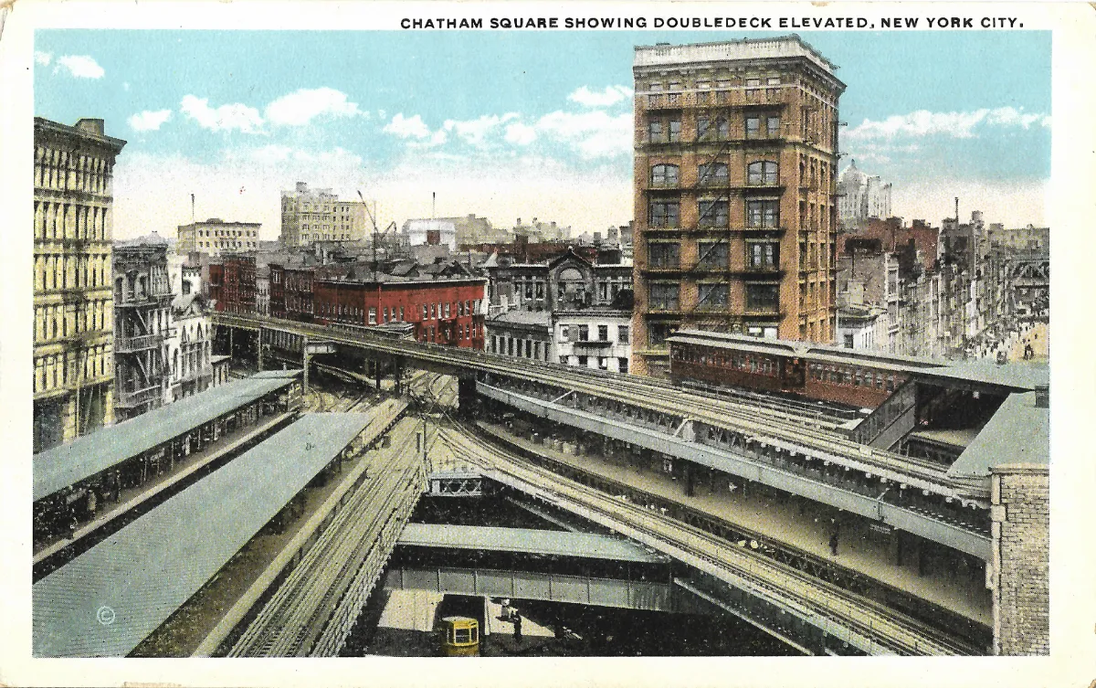
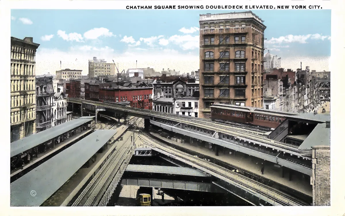
This antique postcard Chatham Square captures a striking elevated railway junction in Lower Manhattan, New York City. The printed caption at the top of the image reads “Chatham Square showing Doubledeck Elevated, New York City,” which unambiguously identifies the location: the historic intersection at Chatham Square, where several elevated train lines serving Manhattan’s Lower East Side and Bowery once converged, before the construction of the modern underground subway.
The photograph was taken from an elevated vantage point, likely a pedestrian bridge or platform overlooking the tracks, allowing the full two-tier steel structure referenced in the title (“doubledeck elevated”) to be seen: a lower rail deck and a second level of track above it are clearly visible, separated by riveted steel trusswork typical of early twentieth-century New York infrastructure. A dark red elevated train car can be seen crossing the upper level toward the right of the image.
In the background stands a mixed group of buildings characteristic of Lower Manhattan at the time: four- to five-story red brick structures fitted with exterior fire escapes, required under New York City fire codes of the period, alongside a taller commercial building on the right, roughly ten stories high, in a neoclassical style with a projecting cornice, pale stone facade, and arched windows on its uppermost floor. Buildings of this type were typically constructed for offices and retail use in this district between roughly 1900 and 1915.
In the foreground, below the elevated structure, covered platforms and additional sets of tracks are visible, confirming the site’s function as a transit interchange. A small yellow vehicle at street level in the lower part of the image is difficult to identify with certainty; it may be a period utility or postal vehicle, though this remains a hypothesis given the low resolution of this detail.
The coloring of the card, with its pastel blue sky, stylized white clouds, and warm brick tones, reflects the hand-tinting techniques commonly applied to black-and-white photographic images, a widespread practice in American tourist postcard publishing during the early twentieth century.
Historical description:
Several converging clues support a probable dating for this card. First, the wide white border framing the image corresponds to the so-called “White Border” postcard format, produced in the United States roughly between 1915 and 1930. This is the most reliable indicator for placing the printing of this card within that timeframe.
Second, the double-deck elevated railway junction shown here matches a documented real-world configuration at Chatham Square, where multiple elevated lines serving the Lower East Side and Bowery crossed at different levels. This complex multi-tier junction existed at this location for several decades before being progressively dismantled from the mid-twentieth century onward, as the elevated network was replaced by the underground subway. The presence of this infrastructure, combined with the card’s printing style, supports a probable dating in the 1910s-1920s.
No postmark, stamp, or handwritten inscription is visible on the front of this card, and the reverse side was not provided; it is therefore not possible to confirm a precise mailing date or identify a sender or recipient. This absence of postal evidence limits the analysis to visual dating clues alone, which should be treated as a reasoned hypothesis rather than documentary certainty.
A small circular mark containing the letter “C” appears in the lower left corner of the image; this most likely represents a copyright notice from the publisher or photographer, but it is too faint to allow certain identification of the publishing house. Numerous American postcard publishers active in New York during this period produced similar urban views, typically sold as souvenirs to visitors of the city.
From an urban history perspective, this card documents a now-vanished phase of New York’s transit history: the elevated railway network, known as the “El,” once crisscrossed Manhattan and was largely dismantled between the 1930s and 1950s, replaced by the underground subway system that now defines the city. The Chatham Square junction, shown here with its distinctive two-level structure, no longer exists in this form today, giving this document real value as a record of a vanished urban landscape.
From a social perspective, the absence of significant automobile traffic in the street, combined with the exclusive presence of railway structures and older buildings without visible modern road signage, is consistent with an urban scene predating the widespread adoption of the automobile in this district, reinforcing the hypothesis of a 1910s-1920s dating rather than a later one.
Further verification through New York municipal archives specializing in transit history, documenting the precise phases of demolition and modification of the elevated railway network at Chatham Square, could help refine this dating.