Antique Postcard Moulins: Avenue d’Orvilliers
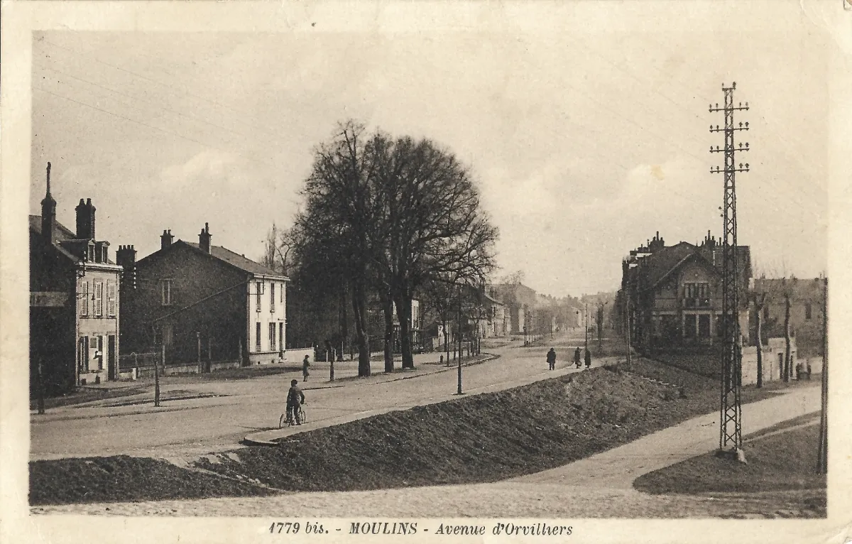
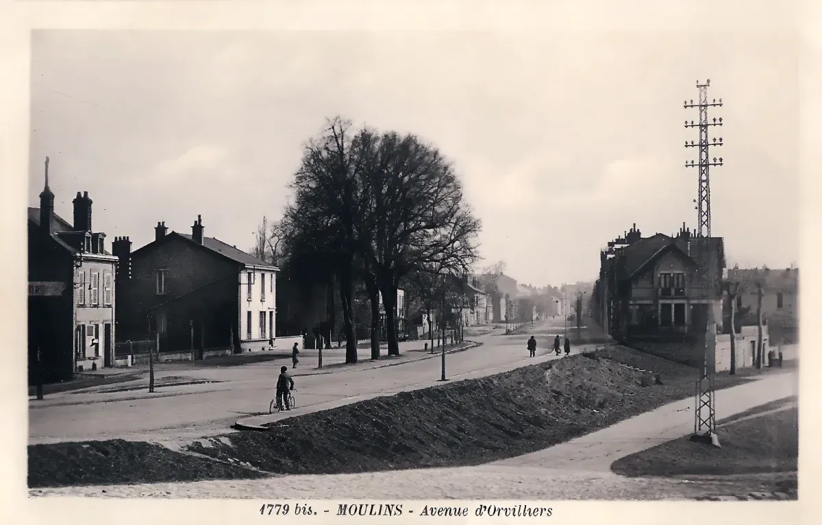
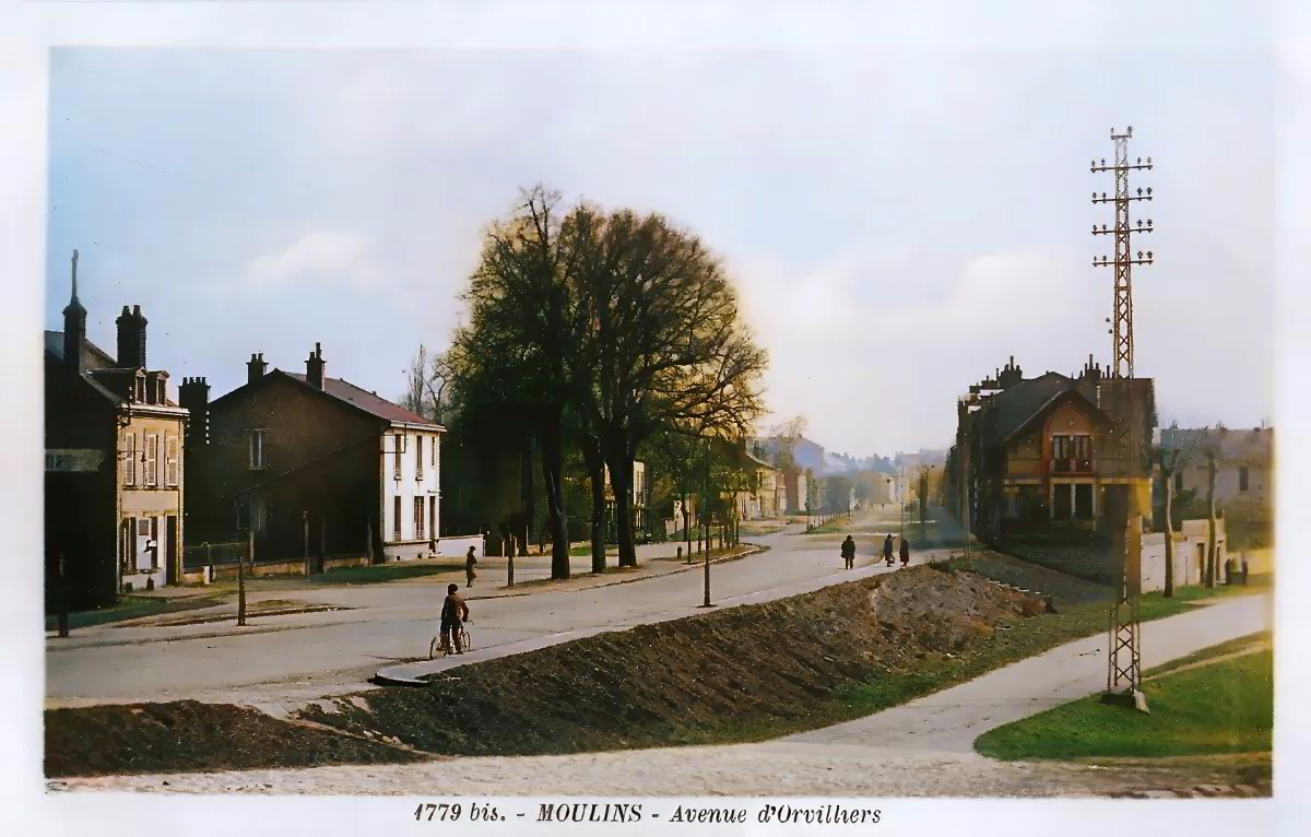
Geographic description: This antique postcard Moulins captures avenue d’Orvilliers, a broad thoroughfare in the Bourbonnais town photographed looking toward the town centre, in a district that was clearly still being urbanised at the time. In the foreground, the roadway is only partly consolidated, with a raised earthen strip running down the middle of the avenue that appears to correspond to grading or drainage work on a still-unfinished road: the freshly turned soil, visible along the whole length of the perspective, contrasts with the more compacted surface of the side paths. On the left, a row of modest bourgeois houses of one or two storeys lines the avenue, featuring steeply pitched roofs, exposed brick chimney stacks, hinged shutters on the windows, and small fenced front yards. Buildings of this scale and finish are typical of the peri-urban housing built on the outskirts of mid-sized French towns between the late nineteenth century and the 1920s. A large, bare deciduous tree, likely a plane or a chestnut planted as part of a roadside row, sits at the centre of the composition and anchors the vanishing point of the avenue. On the right, a more substantial villa with a complex roofline and a balcony stands out through its more refined architecture, suggesting a residential avenue combining several social strata. A tall lattice-work metal pylon, carrying several rows of crossarms and insulators, dominates the right side of the frame; it is most likely a support for a high-voltage electric or telephone line, an infrastructure element characteristic of the rural and suburban electrification networks built across France in the first third of the twentieth century. In the foreground, a young cyclist has stopped with his bicycle at the edge of the central mound, while a few pedestrians walk along the right-hand pavement toward the town centre. No motor vehicle appears anywhere in the scene, which reinforces the hypothesis that the photograph predates the widespread use of the automobile in small provincial towns. The caption printed at the bottom of the card, “1779 bis. – MOULINS – Avenue d’Orvilliers,” unambiguously confirms the location: this is indeed the town of Moulins, in the Allier department, and the avenue still exists today under the same name within the current urban fabric of the town.
Historical description: Several converging clues support a proposed dating for this antique postcard Moulins. The complete absence of motor vehicles, the exclusive presence of pedestrians and a single cyclist, and the still-unfinished state of the road surface (a central strip under grading, a partly unconsolidated carriageway) point toward a period of roughly 1905 to 1925, a hypothesis that must be stated cautiously since no postmark or stamp is available for analysis, the back of the card not having been provided. The architectural style of the houses on the left, with their steep roof pitches and exposed brick chimney stacks, corresponds to a type of residential construction typical of the late nineteenth and early twentieth centuries in mid-sized towns of central France. The high-voltage electric pylon is a particularly useful dating clue: the rollout of electric transmission networks into French peri-urban areas mainly took place between 1900 and 1930, which is consistent with the dating range proposed above. The edition number “1779 bis” printed beneath the caption indicates that this view belonged to a numbered series, a common commercial practice among regional postcard publishers of the period, who issued sets devoted to a single town or region; the publisher’s name itself, however, is not legible on this reproduction, and its identification would need to be confirmed by examining the back of the card or by comparing it with other known examples from the same series. The fact that the card documents an avenue under development, rather than a central monument or tourist landmark, suggests that it belonged to a series intended to showcase the expansion and modernisation of the town of Moulins, a common editorial approach at the turn of the century, when municipalities and local publishers liked to highlight new districts and modern amenities such as electricity and paved roads as signs of urban progress. Without the back of the card, it is not possible to confirm whether it was actually posted, nor to recover any handwritten message, address, or cancellation mark that would allow this dating to be refined with certainty; the dating hypothesis proposed here therefore rests solely on a set of stylistic and technical clues observable on the front of the card, and verification through the Moulins municipal archives or a specialised postcard-collecting genealogy website would allow it to be confirmed or refined.